




Code: 10465
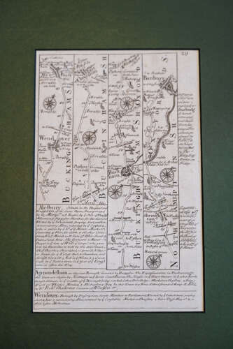
An original 1720 road map by Emmanuel Bowen, one of the most respected English cartographers of the 18th century. Finely engraved and double-sided, the map details the route from Wendover to Buckingham and Banbury on one side, and from Banbury to Stratford and Feckenham on the other.
The delicacy of the line work and the elegance of the script give it real presence, even centuries on. A fascinating snapshot of early British travel — when roads were routes of trade, pilgrimage and connection.
Presented with the gentle toning and character expected of an early 18th-century engraving, which only enhances its authenticity and historical depth. A wonderful piece for collectors of maps, local history, or anyone drawn to the romance of old roads.
Measurements:
In mount = 29cm Tall x 22cm Wide
Out of mount roughly = 20.5cm Tall x 13cm Wide


